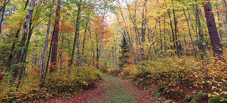
The Taconite State Trail stretches 165 miles from Grand Rapids to Ely and intersects with the David Dill/Arrowhead State Trail just west of Lake Vermillion. The David Dill/Taconite State Trail extends from the David Dill/Arrowhead State Trail to Ely. The first six miles from Grand Rapids are paved for biking and in-line skating. The remainder of the natural surface trail is used primarily for snowmobiling in the winter. The trail goes through a few areas that have standing water in the summer, however portions of the trail are suitable for horseback riding, hiking, and mountain biking. Off-highway vehicle riding is allowed on some trail portions.
Eight trail waysides and picnic facilities offer scenic vistas of the hills, lakes and rivers of this area. The trail links to Bear Head Lake, Lake Vermilion-Soudan Underground Mine, and McCarthy Beach state parks. The landscape in and around Bear Head Lake State Park is very rolling and rocky, with elevations ranging from 1,450 – 1,590 feet.
Primary uses of the developed trail include hiking and snowmobiling. From early May through the end of October, class 1 and class 2 all terrain vehicle (ATV) and off highway motorcycle (OHM) riding is permitted on 17 miles of trail at the U.S. Highway 53 junction and on 11 miles of trail between Ely and the Purvis Lake area. Click here for more information about off-highway vehicle use of the trail. Other trail users include mountain bikers, backpackers and horseback riders.
Visit the official websites noted above for downloadable trail maps!

